Features:
How Reveal Mapped the “Secret” U.S. Border Fence
It’s a fence; it’s a wall—whatever it is, we found it
(Reveal/Michael Corey)
The Trump administration’s pursuit of a border wall along the U.S.-Mexico border has brought back a project that I thought I had finished years ago.
Since 2012, we at Reveal from The Center of Investigative Reporting have been mapping the border fence system. And as we’ve written before, it’s not easy to predict how much wall-building the Trump administration will be able to accomplish.
Despite the ambiguities in funding and the contradictory promises, we’re back at it again, and I’m spending most of my days on border fence/border wall reporting, along with several others at Reveal.
During the project, readers and acquaintances have asked us why the history of the fence matters. And if building a wall along the entire border remains a pipe dream, why are we focusing attention on it?
To understand the future of the fence—or wall, whatever it will become—we need to first understand how we got here. How much blood and treasure have we already spent to get to the 700 miles of fence on the border today? Whose land was taken? What would it take to scale up, especially since most of the easiest places to build are already fenced?
Whose lives will it impact in the future? And has what the U.S. built so far even worked?
Government Secrets via Street View
Those same questions were on our minds five years ago when we decided to map the existing border fence system in order to determine if the project, largely conceived of by the George W. Bush administration but continued under President Obama, was an effective deterrent to drug smuggling and illegal immigration.
When we filed a FOIA request for the geographic coordinates of the existing fence, we were told that the precise locations could not be released because they would reveal law enforcement sources and methods.
(We did receive start and end points of each section of fence, but the fence twists and turns quite a bit.) This seemed ridiculous to us, as we could not imagine how a 10- to 20-foot tall fence could somehow be a secret.
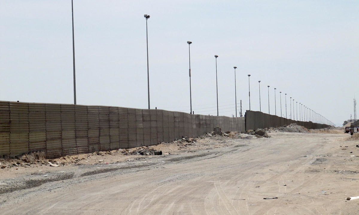
Look, here’s a photo of the top-secret fence. Don’t tell anyone you saw this.

(Reveal/Michael Corey)
Here’s another one.

(Reveal/Michael Corey)
The darn thing was even easily viewable in Google Street View, we ranted to each other in the newsroom.
Righteous indignation—and just regular old indignation at being told “no”—kicked in, and we decided we wouldn’t accept that answer. We’d prove how silly the government’s position was by tracing the fence using publicly available aerial imagery.
News assistant Tia Ghose did a proof-of-concept run, and eventually I spent several weeks doing nothing but squinting at a tiny line in the sand.
At this point, since the government wouldn’t cooperate, we weren’t really sure what our fence-finding efforts would produce. How sure could we be that what we marked as fence was really The Fence? How could we tell the difference between the border fence and just any old fence put up by a rancher? Could we even use the resulting unofficial map in a story?
My biggest fear was that I would get halfway done, run out of time, and see all the work go to waste, so I decided to do our tracing work in OpenStreetMap. By using OpenStreetMap, we gained the opportunity to join up with other OSM users to crowdsource the project. Working in public also meant that if I did get sidetracked, everything I had done would continue to be available to all OSM users without us having to make a later internal decision at Reveal.
Hiding in the Light
Another consideration was that since the government had told us the locations were sensitive, they might try to stop us from making the data public. Since many people have their own downloaded copies of OpenStreetMap data, I figured the government couldn’t put the genie back in the bottle. On the other hand, someone from the government (or anyone, really) could easily have started messing with the data I was putting into OSM by deleting it or inserting errors. I even set up daily downloads to archive my OSM work to S3, so if someone did mess with the data I could see who had done it and when.
(I should probably turn the backups off, I think they’re still running. Meh, storage is cheap.)
I got pretty excited about this prospect, thinking it would make a pretty good story. But alas(?), the feds never tried to redact the data in the wild.
But even though no one actively messed with my work, I did find that there were complications I hadn’t considered when choosing OSM. Since anyone can change anything, a few times people seem to have accidentally moved segments of fence a bit while modifying a nearby road. Bots also comb through OSM from time to time like street sweepers to clean up perceived issues, and I wasn’t able to easily tell what they had changed when some of my records were modified. These weren’t huge problems, since the whole project was essentially an experiment, but they factored into our decision-making process later.
Download, Trace, Upload, Repeat
The best way to manually add a lot of data to OpenStreetMap at the time was with a program called JOSM, a Java app that, like a lot of open-source projects, has a ton of features that I have never used, and doesn’t always make it very apparent where the things you are looking for actually reside. But it gets the job done, and once you get the hang of it, it’s pretty straightforward.
To add data to OpenStreetMap, you first need to download a portion of the surrounding area in the existing OSM data so you don’t duplicate what’s already there. In my case, I also needed an underlying satellite map layer showing the fence to trace.
And then, I picked a coast to start from (West), grabbed a coffee, and panned the map to Tijuana.
The task is simple enough–trace a line over everything you think is border fence. But it can be really slow going. Sometimes it’s not clear if a line is border fence, a canal, or just some other fence that happens to be near the border. Many times, the satellite images had mysterious breaks in the fence line caused by the seams at the edges of image that had been stitched together. Many U.S. imagery providers cut off their images at the U.S. border, causing more confusing seams right where I needed clear imagery. (Note to imagery providers: Please stop doing this. It makes border work—where you want to compare things on both sides—very difficult. It also makes your final product less pretty.)
When you finish a section, you upload your changes to OpenStreetMap’s servers, and boom, you’ve updated the maps for everyone.
After a few weeks, I made it through all 2,000 miles of border. We had several project ideas, but ultimately, the fence map sat on the shelf.
All the data was sitting in public on OpenStreetMap, but no one really noticed. I was happy that, no matter what, the data now existed somewhere, but it was a lot of work to do if no one was ever going to see it.
Fence Map, Reborn!
Then, in 2014, friends at NPR got in touch with Reveal to see what, if any, data we had on the U.S.-Mexico border that we might be willing to share with them for their Borderland project. They were initially interested in our border drug-seizures data, apprehensions of people, and other statistics. “Well,” we said, “we’ve also got this border fence map no one has really used—you want that?”
They did, and the fence map ended up driving a section of their amazing Borderland package. The data appeared as a static map showing the whole border, and was used to highlight the large gaps many people don’t know are there, as well as the highly varied terrain in different parts of the border.
After that several other publications used the map. As far as we could tell, this was by far the most accurate map of the fence system available outside of government, but we couldn’t really call it an official map, either.
I was pretty sure we were done. And the fence was largely done as well, as far as we knew.
But we were wrong.
Fence Map, Reborn Again! But Now It’s a Wall, I Guess?
I had been wondering if we needed to revisit our border fence work since then-candidate Donald Trump started making a wall a centerpiece of his campaign. But until the election, I didn’t think a major new push to build border barriers was in the cards.
Soon after the election, we took stock of what we had and what needed updating. And I discovered that there was another set of publicly available fence data. Denise Gilman at the University of Texas at Austin law school submitted her first FOIA for border fence maps in 2008, long before we started our work. She ran into the same roadblocks we did, but unlike us, she sued. And she successfully—after six years—got access to high-resolution PDF maps of the existing border fence.
Generally speaking, PDF maps don’t do us much good in creating GIS data on a large scale. Georeferencing the maps in a GIS program and tracing by hand would have been a daunting and imprecise task.
But because we already had our GIS version of the map that we had created, we were able to check our work against Prof. Gilman’s PDFs. The PDFs also included more official information about each segment than we had previously—which project the segment was built under, and what official designation each segment was given. Checking and editing our work and adding the new metadata from the PDFs took only about two weeks.
And merging our work with Prof. Gilman’s PDFs allowed us to finally release a semi-official version of the border fence that we can stand confidently behind.
The refinements—especially the addition of official designations for each segment—will allow us to eventually tie these segments to other public records to give us a more reliable picture of what was built: What materials were used in each segment? When, precisely, was the segment built? And (using contractor data) who built it?
Don’t Call It a Comeback
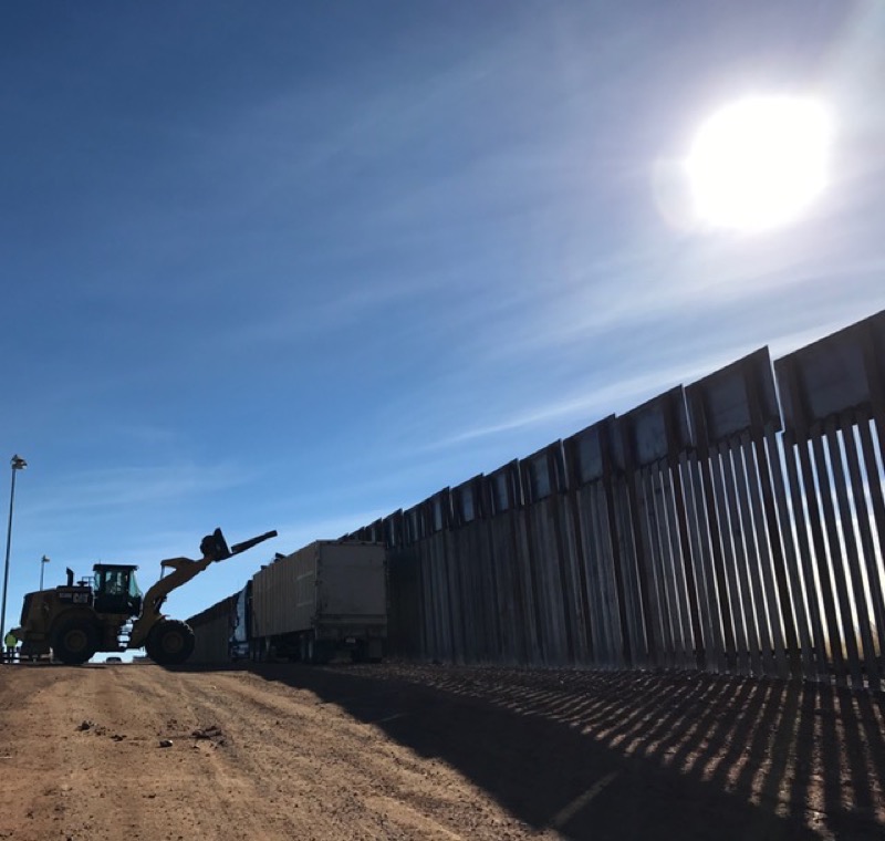
As we were reporting in the field for a Reveal episode earlier this year, we got another surprise. I had thought that work on the fence system was more or less complete by 2013. But as it turns out, work never really stopped.
At least one government contractor is still replacing old fence with new fence on ranchland near Naco, Ariz, using money that was first allocated years ago.
(Reveal/Andrew Becker)
And in Los Ebanos, Texas, one of the places where the government planned to build fence during the George W. Bush administration, but never did, there was another twist: The Obama Justice Department was still filing eminent domain lawsuits to take land from its owners in the Rio Grande Valley as late as 2015. Though the case was older, some landowners received their first notice that they were being named as defendants on January 12, 2017—just before Donald Trump’s inauguration. (Some news outlets incorrectly reported that this was the first lawsuit in Trump’s border wall push.)
We’re still teasing out what all this means: Why were all these lawsuits continuing? Was there an intentional policy to continue building fence, or was the government more or less operating on autopilot? And were there really plans to build the unbuilt sections even before Trump took office? To what extent will these older plans drive what the Trump administration tries to build next? (If you’re in government, and you know the answers, we’re all ears!)
We are continuing to explore all of these questions and more, but we can’t do it alone. That’s one reason we have published our shapefiles for anyone to use. There are lots of journalists paying attention to the border wall now—and the best starting point for anyone who wants to understand Trump’s plans is an accurate sense of where more than a decade of large-scale fence-building by two presidential administrations has left us. Because even though we’re not sure what’s coming next, in many ways, we’ve been here before.
Credits
-
 Michael Corey
Michael Corey is a senior news applications developer at Reveal. He specializes in mapping, science, front-end Web development and interface design. Keep Reveal weird.


